


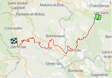

19.8 km | 28 km-effort


User GUIDE


FREE GPS app for hiking
 SityTrail
IGN / Geographical institutes
SityTrail World
The world is yours!
Trail Walking of 32 km to be discovered at Auvergne-Rhône-Alpes, Ardèche, Les Vans. This trail is proposed by thonyc.
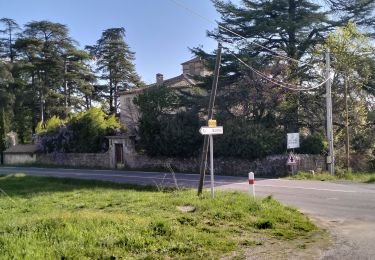
Très joli parcours
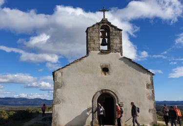
Ne pas hésiter à faire étape à Aujac au restaurant hôtel Secrets d'Aujac


Walking

Walking

Walking

Mountain bike

Walking
Walking

Walking
Walking
Walking